Touring Track Tracouet
Ski touring
This route, starting from the Tracouet cable car, allows you to reach Tracouet via the trail located beneath the cable car. It requires some technical skills to reach the summit smoothly.
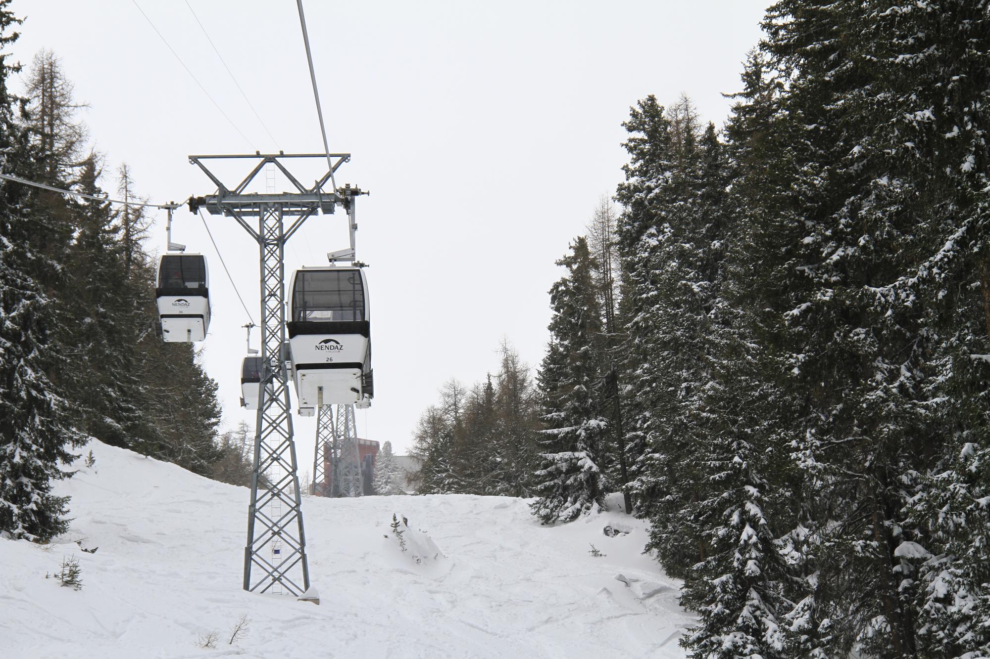
The start of this itinerary is at the foot of the Tracouet ski run. The signposts lead you to the right of the ski run until you reach les Clèves. On this section of the itinerary, you must be extra careful of the downhill skiers. After crossing the ski run, you pass through a zone of chalets, then a path leads you to Tracouet. This path which passes through the forest runs beneath the gondola. The last part of this itinerary passes the last few fir trees before arriving at the magic carpet of the ski school’s snow garden. You then only have a few steps left to reach the summit of Tracouet. This itinerary requires some training before venturing there.
You can come back down either via the Jean-Pierre or the Alpage ski run.